United States Map Coloring Pages

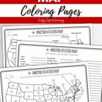
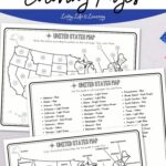
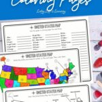
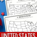
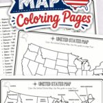
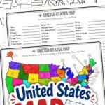
United States Map Coloring Pages are a simple way to bring geography into your lessons. I like printables that give kids hands-on activities while they learn, and this one keeps map work clear, colorful, and easy to use.
If you’re building your geography binder or planning a U.S. history unit, you can also check out my list of Free Homeschool Printables for more helpful pages to add to your week. I always liked having a few ready-to-go worksheets on hand for those days when I needed something useful without extra prep.
These United States map worksheets give kids a chance to color, label, match, and review the 50 states in a calm, visual way. Keep reading to see what’s included, what supplies you’ll need, and a few easy ideas to stretch this geography lesson.
Printable Overview
|
Resource Detail |
Information |
|
Recommended age |
6-12 years old, elementary students |
|
Subject |
Geography and social studies |
|
Number of pages |
8 pages |
|
Skills practiced |
State recognition, map reading, following directions, handwriting, and pencil control |
|
Topics covered |
U.S. state names, shapes, and locations |
|
Supplies |
Printed pages, pencil, eraser, and crayons or colored pencils |
|
File type |
|
This post may contain affiliate links meaning I get commissions for purchases made through links in this post. Read my disclosure policy here.
Who Is This Printable For?
These pages are designed for elementary students who are learning the names and locations of the U.S. states.
You can use individual pages for extra geography practice or work through several of them as part of a United States study.
Why Use U.S. Map Coloring Pages?
Map coloring gives kids a hands-on way to spend more time looking at state names, shapes, and locations.
Instead of only reading a list of states, students can work directly with the map as they color, label, and match states with the provided guides.
Recommended United States Books
Books give children another way to explore the United States alongside their map pages. Choose an educational book with facts, a story that features a place, or another title that encourages interest in the states.
America the Beautiful – Celebrating America’s History, Landmarks, Parks, Artists, Food, Maps, And More! (Children’s Hardcover Luxury Storybook)Sing the 50 United States! (Classic Seuss)National Geographic Kids United States Atlas, 7th Edition (NGK Atlases)Weird But True! USA: 300 Fascinating Facts About the Fifty StatesThe 50 States: Explore the U.S.A. with 50 fact-filled maps!Fun with 50 States: A Big Activity Book for Kids about the Amazing United States


What Will Kids Learn?
These pages give students practice with several geography and map skills.
- State recognition: Become more familiar with the names of the 50 states.
- Map reading: Look at where states appear on a U.S. map.
- Labeling: Match numbered areas with the correct state names.
- Following a key: Use color guides to complete maps.
- Visual attention: Compare maps and notice state boundaries and locations.
What Supplies Are Needed?
You only need a few basic supplies.
- Printer (I have this one)
- Paper
- Pencil
- Crayons or colored pencils/markers
- Clipboard or binder (optional)
- Laminator (optional)
I have the HP printer 8710, but it’s no longer available. It’s been running well for years now. Consider another HP Instant Ink-ready printer so you can use their program to send you ink cartridges when your printer runs low on ink.
What Is Included?
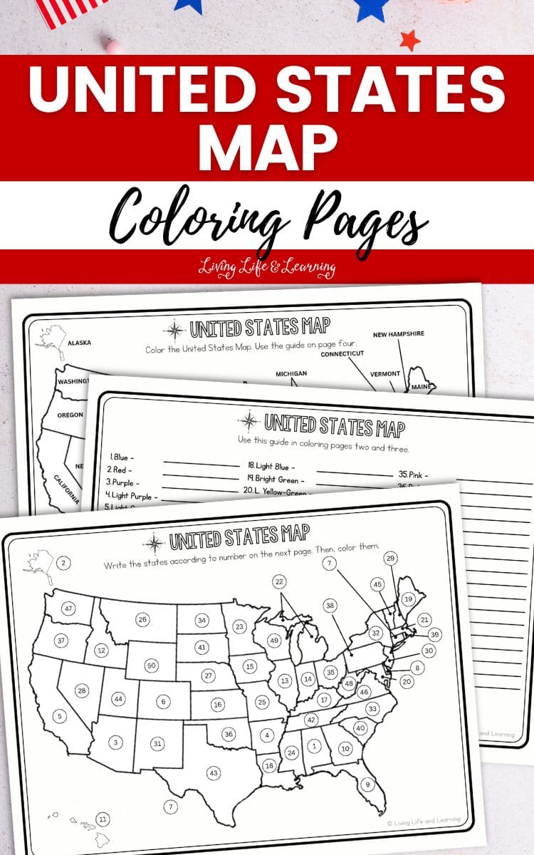
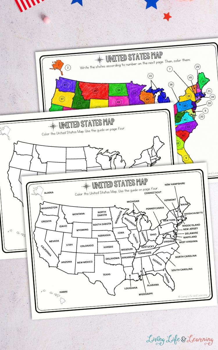
The eight-page printable includes several versions of a United States map along with coloring guides and answer keys.
Completed United States Map
The first page shows a fully colored U.S. map with state names included, giving students a reference as they work through the other activities.
Labeled Map to Color
Kids color a map that already includes the state names. They can use the provided color guide to decide which color to use for each state.
Blank State Map
This page removes the state names so students can focus on the shapes and locations of the states while coloring.
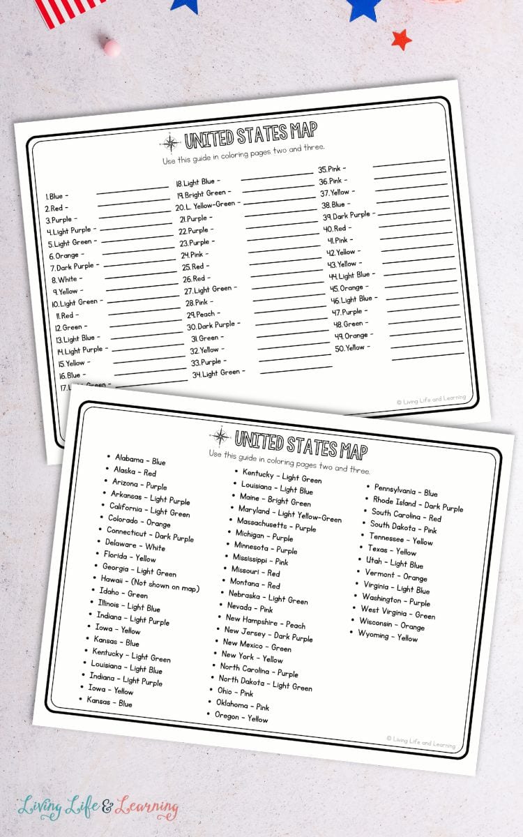
State Coloring Guide
Students use the state-by-state color list as a reference for the coloring activities.
Numbered United States Map
Each state is marked with a number. Students use the numbered guide on the next page to write the correct state names and then color the map.
Number and Color Guide
The numbered list gives students the color connected with each state number and space to write the matching state name.
Answer Keys
The final two pages show the completed numbered map and the state names that match each number.
How Can You Extend the Activity?
Once the coloring pages are done, you can keep the geography practice going with a few simple add-ons. These ideas make the lesson more active without adding a lot of planning.
- Use country worksheets: Add these country activity pages when your child is ready to compare the United States with other places around the world.
- Play geography games: Try these fun world geography board games for a screen-free way to review locations, continents, and countries.
- Plan a pretend road trip: Let kids choose five states to visit, then trace the route on the map and name each state along the way.
- Add state facts: Have your child pick one state and write its capital, nickname, bird, flower, or a famous landmark.
How Can You Keep Learning Going?
Add more geography printables that let kids practice map reading, state recognition, labeling, and other skills connected to learning about the United States.


What Other Activities Can You Try?
If your child enjoyed these 50 States coloring pages, you can pair them with more geography, history, and patriotic learning pages. I like keeping a few options ready, so I can match the lesson to our week without hunting for materials.
- Canada Map Coloring Pages
- Printable Fun Sentence Starters
- Free About Me Worksheets
- Free United States Bookmarks by Homeschool of 1
- Five Regions of the United States Worksheets by 3 Boys and a Dog
FAQs
These United States Map Coloring Pages give elementary students several ways to practice state names, locations, and map skills while working directly with a U.S. map.
Download the USA map printable below


Hi, I’m Monique Boutsiv! I’ve been homeschooling for 18 years and have four children ranging from toddler to adult. I create science activities, educational printables and homeschool resources for preschool through elementary-aged children.
Today, Living Life and Learning includes more than 2,500 printable activities and educational resources to help parents and teachers spend less time planning and more time learning.
Follow along for new printable activities